This project has received funding from the European Union Framework Program for Research and Innovation (SC5-18a-2014) under grant agreement nº 641538
CREAF: Center for Ecological Research and Forestry Applications (Spain)
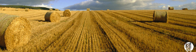
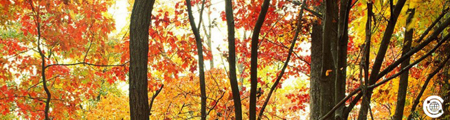
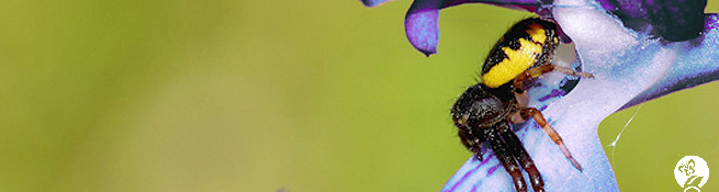
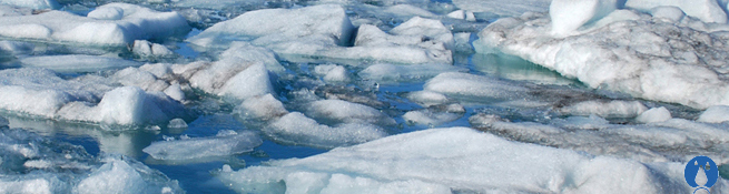
The Centre for Ecological Research and Forestry Applications (CREAF) is a public research institution that was created in 1987 by the Generalitat (Autonomous Government) of Catalonia , the Autonomous University of Barcelona (UAB) the Institute of Catalan Studies (IEC) and The University of Barcelona (UB), to promote basic and applied research in terrestrial ecology. CREAF has made important contributions in terrestrial ecology and towards a sustainable management of the environment and technology transfer. Some of these contributions are the publication of numerous scientific papers in international academic journals and the development of numerous scientific methodologies and technological tools such as the GIS&RS software MiraMon©.
Main tasks in Project____________________________________________________
CREAF is the initiator and project coordinator and will work on; administrative and technical project management; the overall system architecture, user requirements and integration; will develop some of the quality elicitation and visualisation tools and provenance graphical visualisation, graphical catalogue. CREAF will participate in validation with technical support and in the dissemination and standardisation.
Key project participants_________________________________________________________
 Dr. Joan Masó (PhD in Geography, MSc in Physics in 1994, and a MSc in Electronic Engineering) since 1995 he is a researcher at CREAF. Co-creator of the MiraMon compressed map and the MiraMon Map Reader idea in 1997; the first MiraMon technology for Internet distribution. He is a co-developer of the OGC WMS, WFS and WCS server and client MiraMon technology. He is co-developer of the MiraMon vector data model and metadata profile. He is an active member of the TC of the Open Geospatial Consortium (OGC) since 2003 and the editor OGC 07-057r7 WMTS recently approved and Spanish representative for the current ISO19115 revision process. Key role on the project: Technical coordination and management of the project.
 Mrs. Ivette Serral (Degrees in Environmental Sciences, MSc in Remote Sensing and GIS) is researcher at CREAF since 2005. The main objective of her work is to develop and manage GIS for the public administration: the Catalan marine and coastal information system, the Catalan healthcare information system, the Andorran environmental information system, etc. She developed new methodological tools in reference systems integration and multicriteria studies. She has also been deployed several Web geodata portals (e.g., Thalassa, an interoperable portal gathering all MODIS SST and Chlor-a images from the Terra and Aqua series). She has been collaborating with secondary schools to disseminate GIS science and applications. Key role on the project: Technical coordination and management of the project.
Mr. Guillem Closa (BS degree in Geography, MSc in GIS and MSc in Geological Hazards). He is a
researcher at CREAF since November in 2012, where he had been working on geospatial metadata.
Concretely, his work has focused on the development of provenance visualization tools and on the
usability of geospatial provenance using ISO-19115, ISO-19139 and W3C PROV standards. He had
participated in the FP7 GeoViQua project and he is a co-editor of the OWS-10 Provenance Engineering
Report of the Open Geospatial Consortium. Previously he worked in Italy at the Environmental
department of Iren AcquaGas (Genoa), producing water quality cartography. There, he also took part in
the FP7 project Prepared, enabling the change generating Floods hazard Maps. Key role on the project:
Staff working for the beneficiary - Observations inventory and communication.
Mrs. Núria Julià (BSc. in Computer Sciences by the UPC and MSc in Remote Sensing and GIS by the UAB. Since 2003 she is a developer and researcher at CREAF. She is member of the Grumets research group). The main objective of her research is the geospatial data standards, web services and collaborative portals. She is related to geospatial data standards projects such as FP7 GeoViQua. She is an editor of OGC 07-057r7 Web Map Tile Service Developer of the MiraMon GIS&RS and the OGC Web Map Service, Web Map Tile Service, Web Feature Service and Web Coverage Service server and client. She has experience in C, JAVA, HTML, and JavaScript. She has a large experience and knowledge in several types of databases and geo-databases. Developer of the CaMM MiraMon: a metadata catalogue and search engine based. Key role on the project: In-house consultant without payment - ConnectinGEO Observations Inventory design and analysis.
Dr. Xavier Pons (PhD degree in Remote Sensing and GIS in 1992) is Full Professor at the Department of Geography of UAB focusing on Remote Sensing (satellite and airborne) and the development of GIS, both in terms of data structure and organization and in terms of software writing. He has participated, and leaded in many cases, more than 60 research projects. Recent works include descriptive climatology models, land use change analysis, study of information extraction impacts of lossy image compression (JPEG2000, etc) and Remote Sensing studies about water usage in forest and crops. His publications in these fields have had an important impact and have been referenced by more than 1600 papers. Dr. Pons is recipient of an ICREA Academia Excellence in Research grant (2011-2015). Key role on the project: Third party without payment -- Advisor for the Catalan university sector.
Overview
Objectives
Participants
CREAF
Tiwah
CNR
IIASA
CMCC
52º North GmbH
S[&]t Corporation
ICM
BIRA
ARMINES
NILU
EXETER
Institut Mines-Télécom
IEEE
EARSC